MConnected’s Carbon Programme Supports Forestry England in the Monitoring of Peatland.
Digitising Carbon Sequestration
IoT & SATELITTE BASED TECHNOLOGIES IN MONITORING OF CARBONGREEN HOUSE GASES (“GHG”) IN PEATLAND.
Peatland mapping and monitoring require collection and measurement of different data types depending on the status of the peatland area. In pristine peatlands information on natural characteristics is needed to monitor future changes, including potential climate change impacts that may lead to increased emissions and disaster risks.
If drainage is undertaken, peatlands generally become sources of greenhouse gas emissions, and additional parameters must be monitored to support corrective action and avoid continued degradation, and to contribute information to report for various conventions. Peatland restoration monitoring can inform the design, strategy, selection of site and management approaches, and improve restoration efforts through technical adjustments.
Undisturbed peatlands accumulate carbon from the air at a rate of up to 0.7 tonnes per hectare per year The Wildlife Trust in the UK have estimated that a 2m deep peatland stores 8,000 tonnes of carbon per hectare.
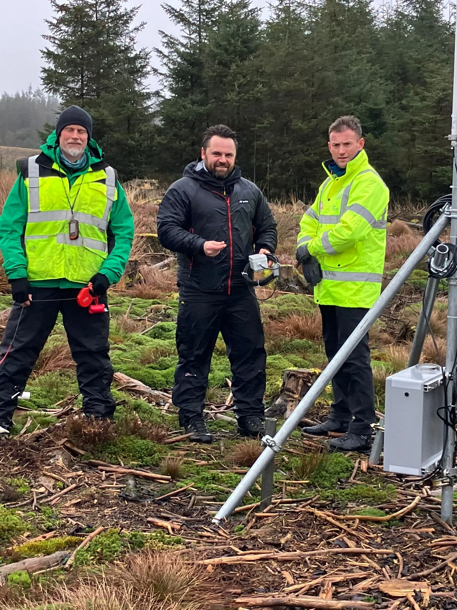
As part of the MConnected programme the business is leading several projects to develop satellite based IoT technologies to monitor peatlands and work with key stakeholders to understand, monitor carbon and GHG changes in these exceptionally important locations and to act when needed.
The projects will collect data from a number, of water level, temperature and dissolved oxygen, carbon dioxide and methane sensors situated within the peatland. Ultrasonic water depth sensors on the outflow tributaries will gauge run-off from the location.
Low power sensors deployed are designed to be unobtrusive with a very small footprint and relay data via radio, resulting in a zero-wire network. Base stations are powered by renewable energy and data is backhauled via a resilient geostationary satellite constellation.
Special thanks to the Forestry England team for supporting the initial project in the heart of Northumberland.